Where Data Tells the Story
© Voronoi 2026. All rights reserved.

Hurricane Beryl is likely to be one among a series of extreme Atlantic weather events this coming season, according to forecasters. This prediction is partly based on the fact the Atlantic has continued to see warm sea surface temperatures and partly due to the anticipation of the climate event known as La Niña falling this year.
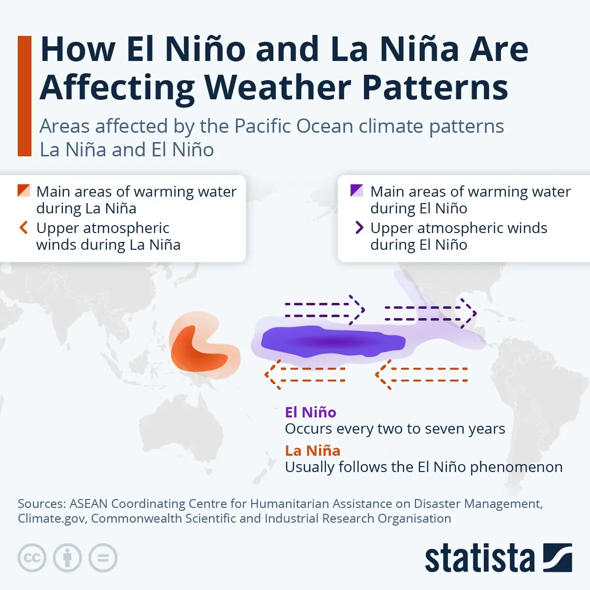
La Niña, which translates to “little girl”, and El Niño, or “little boy”, are two parts of a natural climate phenomenon called the El Niño Southern Oscillation (ENSO), which describes the changes in temperature between the ocean and atmosphere in the east-central equatorial Pacific Ocean. These episodes usually take place every two to seven years, depending on the conditions between Australia and South America, and last between nine to 12 months, although they do not always alternate and a neutral ENSO phase is also possible. El Niño occurs more often than La Niña.
El Niño takes place when trade winds weaken and unusually warm sea surface water is pushed east, forcing the Pacific jet stream further south than usual. According to NOAA, this results in wetter-than-average weather in the southeast of the United States and the U.S. Gulf Coast, but warmer-than-average temperatures in the north of the U.S. and Canada. Meanwhile, Southeast Asia, Australia and central Africa can usually expect drier conditions at this time.
La Niña events, on the other hand, are characterized by stronger trade winds than usual. While warm water is pushed towards Asia, the west coast of the Americas sees cool waters rise to the surface and the jet stream diverted north. This means the weather patterns tend to be the opposite from El Niño, with droughts in southern U.S. but more rainfall in Australia and Southeast Asia. Hurricanes are also more likely in the Atlantic Basin, when there is less wind shear in the region. This is because when there is higher wind shear, it is harder for hurricanes to maintain their structure.